Road

​Where there is a goal, there is a way

More than 70 years ago, the main destination on Kráľova hoľa was the television transmitter. That is how Slovakia’s highest-altitude road came to be.
Today, the goal is something else: supporting tourism in a slower-developing region with a rich history and unique nature. Not through cable cars and mass tourism, but through the sensitive restoration of what already exists here.
The path to this goal leads through cooperation. The Banská Bystrica Self-Governing Region, the municipality of Šumiac, the urbarial community, LESY SR, the NAPANT National Park Administration, tourism organizations, entrepreneurs, and local residents – each of them has their own needs, tasks, and visions. Although they do not always agree, they have managed to unite and jointly fulfill an objective that benefits the entire region.
​​Significance of the Road
The forest road serves primarily for forest management, fire protection, access to the television transmitter, and supply operations. Therefore, it is necessary to comply with the Forest Act 326/2005 and respect the instructions of operators and administrators.
Cycloroute
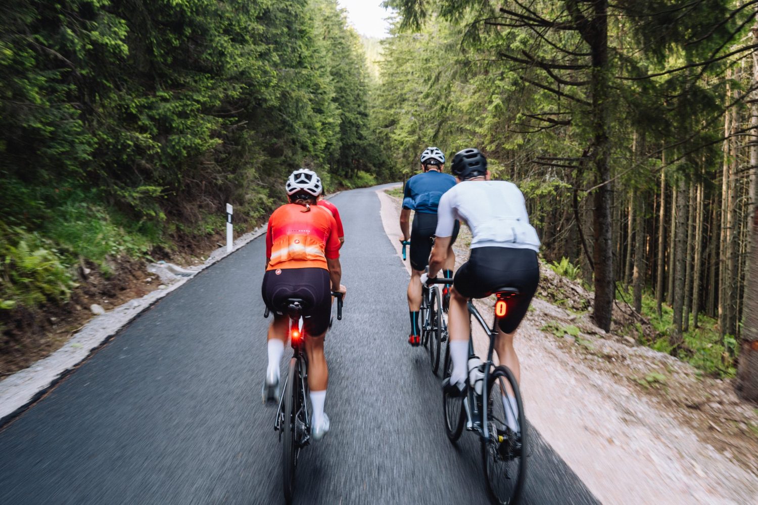
The road is also a marked cycling route and cyclists may use it at their own risk and responsibility. The road can only be used within the limits of the NAPANT Visitor’s Code.
Safety
The road is relatively narrow, with steep sections of up to a 12% gradient. The road is heavily frequented by visitors, and you may encounter service vehicles and wildlife – it is necessary to increase caution, reduce speed, and check your ego.
Respect
Professional cyclists, inexperienced e-bikers, hikers, transmitter maintenance personnel, wildlife and its protection, forestry workers, local residents, and service providers all meet here – let’s respect one another.

Complete information to keep in mind when visiting Kráľova hoľa can be found in the Cycling Code, the NAPANT Visitor’s Code, and the Forest Act.

Royal Road

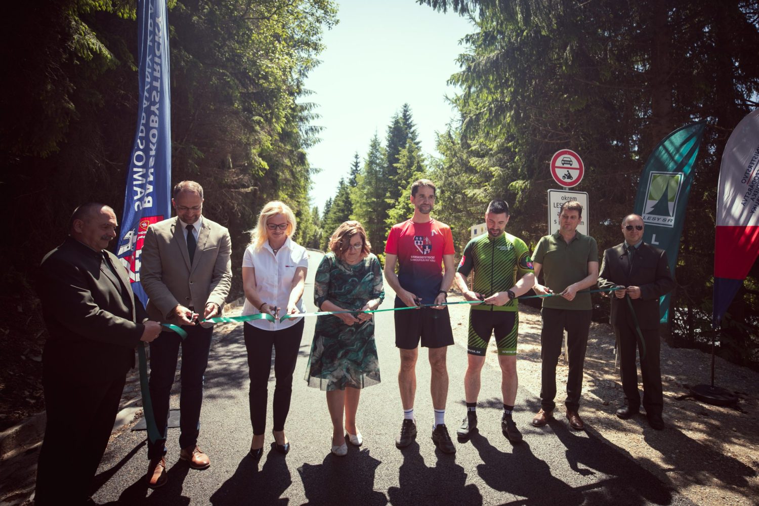
After reconstruction in 2025 and 2026 with a new asphalt surface.

Length

11.72 km

Elevation gain

1 040 m

Average gradient

8.8 %

Surface

asphalt

The highest-altitude cycling route of its kind in Central Europe

You’ll be hard-pressed to find a more epic climb in Slovakia. In addition to 1,000 vertical meters and the dominant character of the mountain with views of the High Tatras, the route is also made serious by an almost unceasing wind. During the season, you’ll encounter many people on e-bikes; off-season, you’ll experience solitude, but also harsher conditions and quite easily all four seasons in a single day.

Refreshment along the way

Reštaurácia pod Lipou

Šumiac Village - Center

Kráľovohoľská chata

Start of the route at the end of Šumiac

Chata pod Kráľovou hoľou

Predné sedlo 1430 m n. m.

At the summit of Kráľova hoľa, there is currently no shelter from bad weather available in the transmitter building.

History

Kráľova hoľa – wreathed in legends

Beneath Kráľova hoľa lies a landscape interwoven with stories that connect nature, history, and the secrets of the past. Old legends speak of love among the mountains, kings seeking refuge in the silence of the peaks, and bandits hiding in the dense forests. Every story carries something of the magic of this place—and together they create a mosaic that makes Kráľova hoľa both the geographical and spiritual center of this region.
 

Road Construction

The construction of the road to Kráľova hoľa is connected to the establishment of television and radio broadcasting in Slovakia in the 1950s. The selection of Kráľova hoľa as a strategic location was due to its advantageous position – it guarantees signal coverage over vast distances, including hard-to-reach areas. The television transmitter on Kráľova hoľa is the highest-altitude transmitter in Slovakia (at an elevation of 1,946 meters above sea level) and provides signal coverage for a large territory across eastern and central Slovakia. It was one of the most demanding engineering projects in the mountain conditions of former Czechoslovakia. Given the alpine terrain and the absence of infrastructure, the greatest challenge was access to the summit itself – meaning the construction of the access road.

Transmitter Construction

Construction of the transmitter was a technically and logistically demanding project, given the mountain environment without access roads and with harsh climatic conditions. Work on the road began in the summer of 1960 with the participation of soldiers, prisoners, and volunteers from surrounding villages. The terrain was rocky and the subgrade unstable; dynamite and bulldozers were used, which was extremely difficult for transport and logistics. Work had to be interrupted during the winter due to extreme weather and snowdrifts.

First, the Šumiac – Nižné Sedlo road was built, officially approved on November 21, 1962. From Nižné Sedlo (today Predné sedlo), construction of a working ropeway by Transporta Chrudin, mounted on wooden poles, began in late 1959. It led from Nižné Sedlo all the way to the summit of Kráľova hoľa. The ropeway was essentially a continuation of the road, and today the former ropeway station is the popular Chata pod Kráľovou hoľou (Kráľova hoľa Cottage).

Even back then, the road was a Slovak record—reaching an altitude of 1,430 meters, it surpassed the previously highest Tatras Magistrala at 1,110 meters.

The transmitter was put into operation in 1961. The construction of the upper section of the road from Nižné Sedlo to the summit of Kráľova hoľa was connected with the development and modernization of the transmitter in the 1970s and 1980s.

Road reconstruction

Why did it start?

The villages of Šumiac and Telgárt are located on a regional border (the Banská Bystrica and Košice regions). From a developmental perspective, this area was neglected for a long time, leading to slower regional growth and an outflow of young people. Yet, these villages possess immense natural, historical, and human potential. Majestic Kráľova hoľa is also unique because it is the only peak in Slovakia with a road leading up to it that is rideable for cyclists, representing the highest-altitude cycling route of its kind in Slovakia and Central Europe (without motorized vehicle access).

Since 2018, the Banská Bystrica Self-Governing Region, together with the Horehronie Region Tourism Organization, has been actively cooperating with local governments and regional partners to develop tourism, seeking to jump-start the local economy and attract young people back. Successful projects include the Horehronie Express, the revival of sauna culture, and the rescue of Chamka’s Barn. You can learn more on the “Region” subpage.

Intent

Based on the initiative of local residents and in cooperation with key partners in the region (the municipalities of Šumiac and Telgárt, Towercom, LESY SR, NAPANT, the urbariát community, local entrepreneurs, civil associations, and many others), the Banská Bystrica Self-Governing Region decided to coordinate and financially back the initiative to reconstruct the road to Kráľova hoľa so that it would last, be safer, and become suitable for road cyclists.

The initiative is a showcase of cooperation and the shared use of Slovakia’s “national” mountain, serving as a prime example of how nature conservation, regional development, and tourism can function sustainably and create a new local economy.

What has already been achieved?

To date, we have achieved:

What are the future plans?